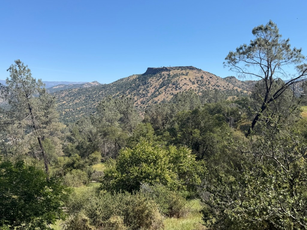
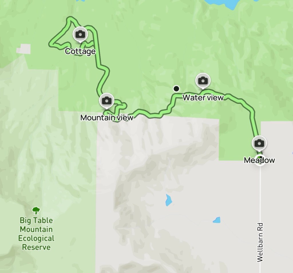
Another excellent hike—this time along the Wellbarn route to the San Joaquin River Trail in Friant. It’s a 5.5-mile out-and-back with about 1,100 feet of elevation gain—just enough to remind your legs who’s in charge.
The Trailhead
We parked at the end of Wellbarn Road, tucked beside a quiet meadow where the last breaths of spring grass whispered in the breeze. Even arriving later than planned, there was still plenty of parking—a small mercy on a warm day.
At the trailhead, a sign notes hours from 6 a.m. to 6 p.m. If the gate is locked, don’t turn back—there’s a narrow gap between the gate and fence post. Tight enough that I had to slip off my backpack and turn sideways like a hiker-shaped puzzle piece, but passable. The closure keeps vehicles out, not people.
The Trail
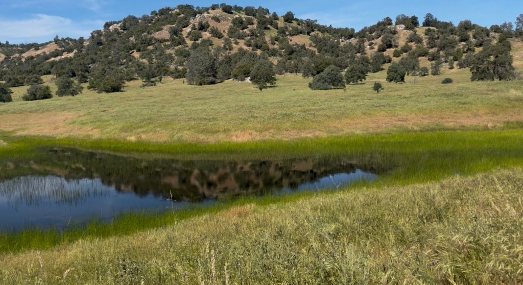
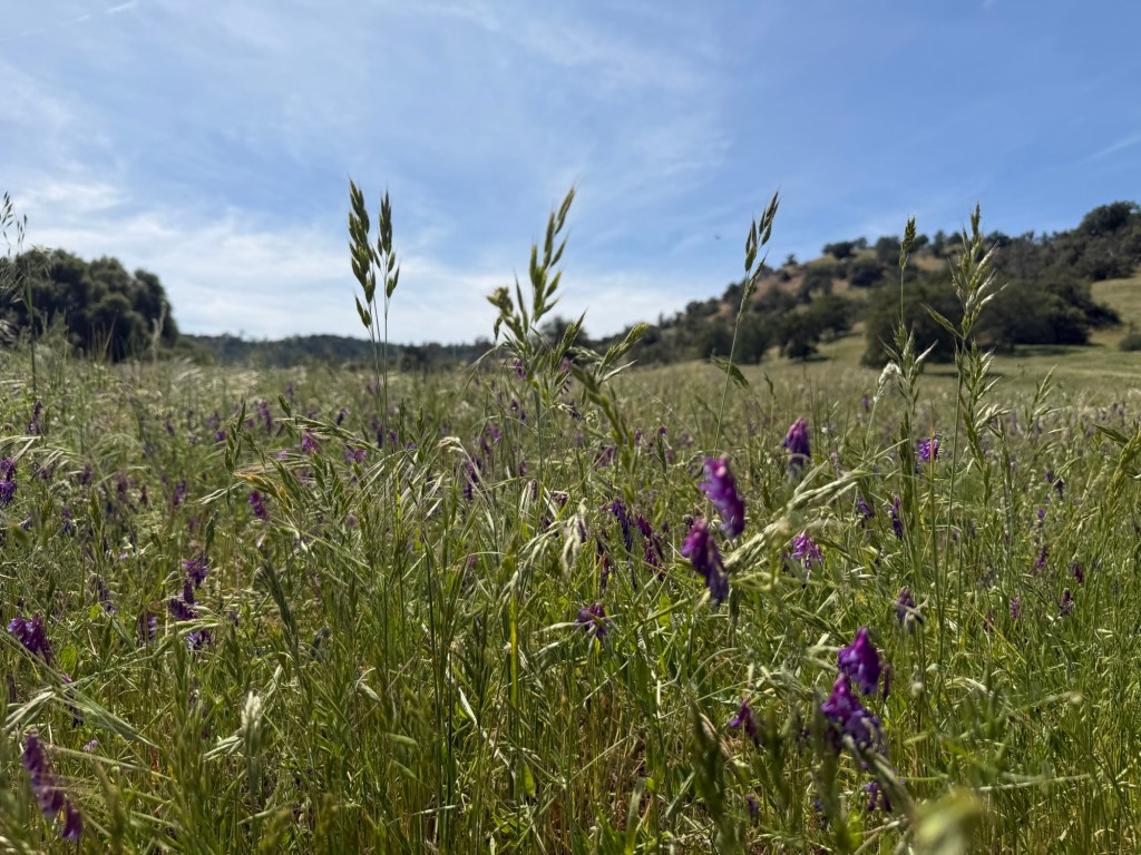
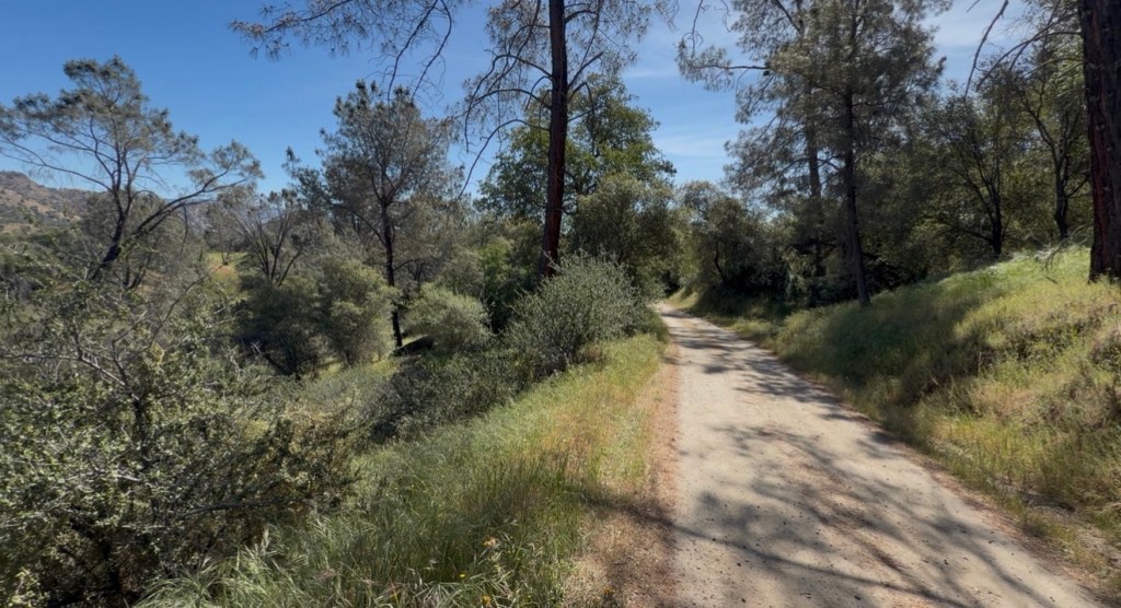
The hike begins gently, almost deceptively so—a flat stretch just under a mile that lets you settle into your rhythm. You pass through open fields stitched with wildflowers, their colors scattered like confetti across the earth, and beneath the patient watch of oak trees spaced wide apart like old friends who don’t need to speak.
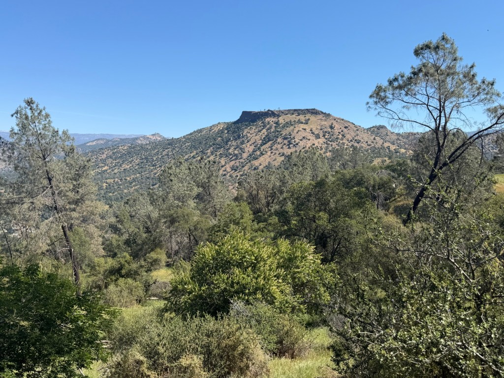
In the distance, tabletop mountains rise with quiet confidence, and to the east, a five-peaked ridge cuts a jagged silhouette against the sky.
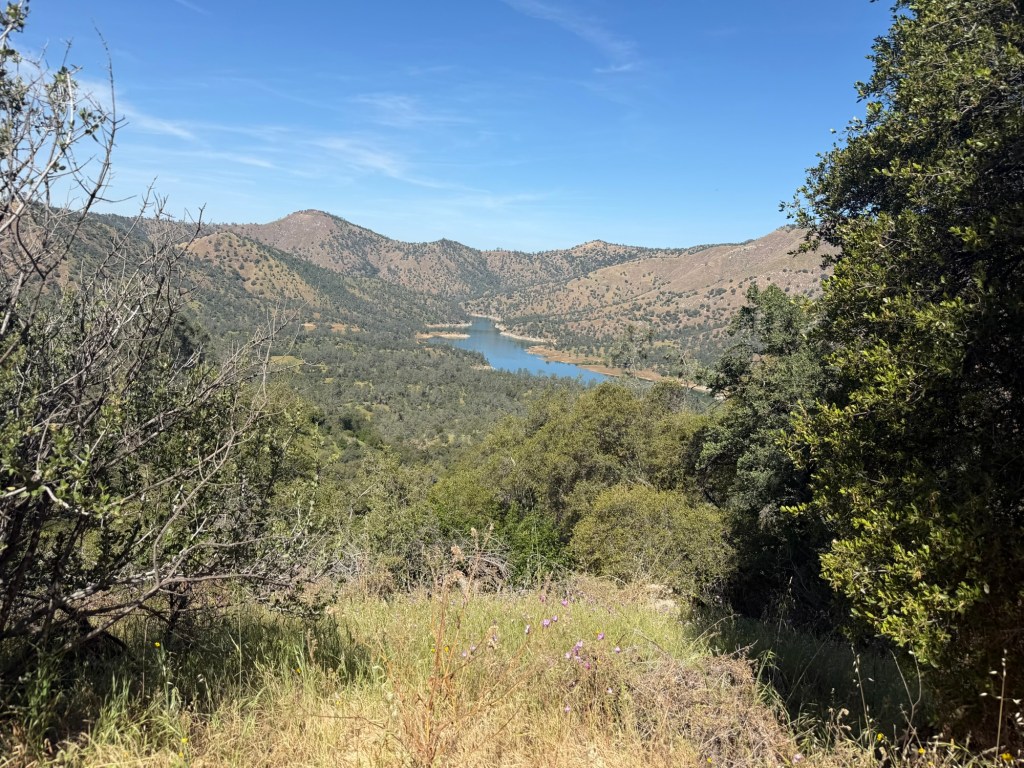
Soon, the trail tips downward into a steady descent that carries on for about two miles. It’s the kind of downhill that feels easy in the moment but quietly promises repayment on the way back. Along the descent, the land opens up to reveal glimpses of the San Joaquin River—a silver thread winding through the valley below. Towering nearby is Cook Mountain, rising to around 2,000 feet, anchoring the landscape with a kind of rugged permanence.
We weren’t alone out there. The trail carried a mix of travelers—solo hikers deep in thought, couples moving in sync, and even a spirited group of older women rolling through in an OTV, laughing their way across the terrain.
Wildlife made its quiet appearances too: a garter snake slipping through the grass, a caterpillar inching along its slow and certain path, a gopher darting for cover, and hawks circling high above, riding invisible currents like kings of the sky.
The Return
By the time we reached the farthest point and turned back, the temperature had climbed to around 85 degrees. The kind of heat that settles in and stays with you. We took more frequent breaks on the climb back, chasing pockets of shade cast by the hillside and the occasional tree.
Starting late meant paying the price on the return, but the mountain breeze softened the edge of the heat just enough to keep things manageable.
All in all, a beautiful trail—one I’ll gladly return to in the fall or early spring when the air is cooler and the hills are greener. There were also a few side trails we spotted that looked like they might wind down toward the river or connect to other routes—definitely worth exploring next time.
If you’re planning this hike from April into summer, start early. Bring more water than you think you’ll need. That steady uphill on the way back doesn’t mess around.
Have you hiked this trail before? I’d love to hear your experience.
Video:
Location:

GPS: 37.04950, -119.56526
 A Digital Collection
Leave a comment